-
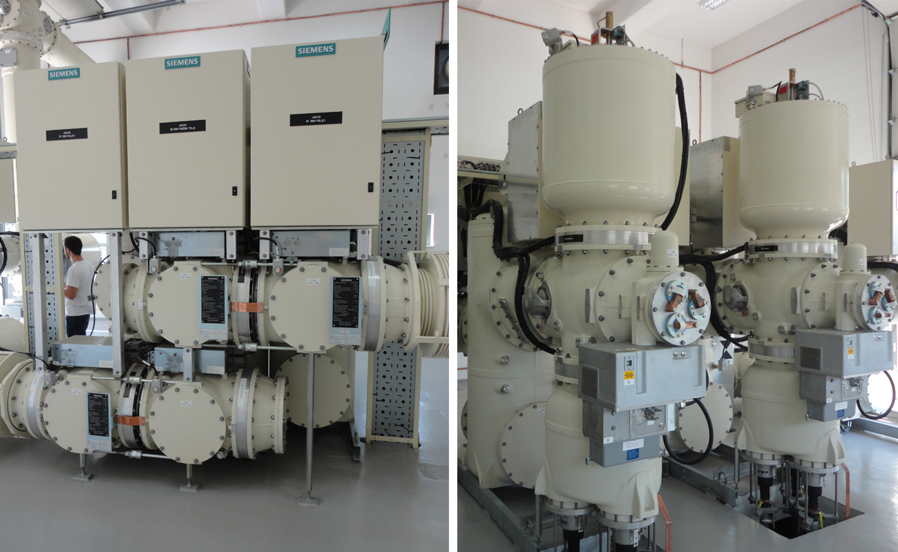
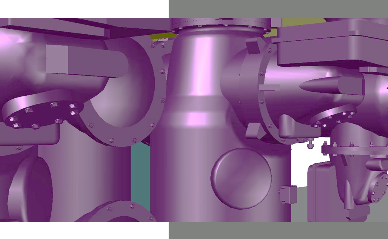
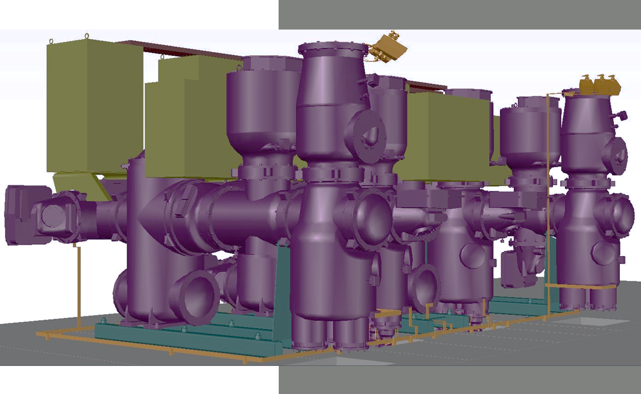
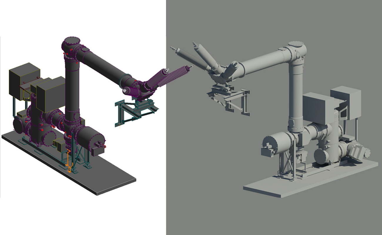
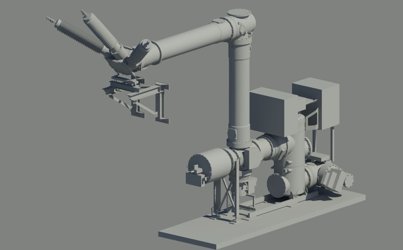
GIS 3D scanning
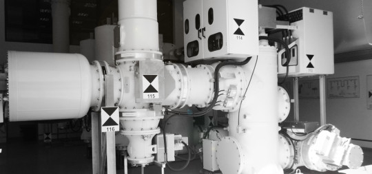
GIS (Gas Insulated Switchgear) infrastructure (interior/exterior) has been 3D scanned for As Built Documentation and BIM integration purposes. Complete infrastructure 3D CAD model...
-
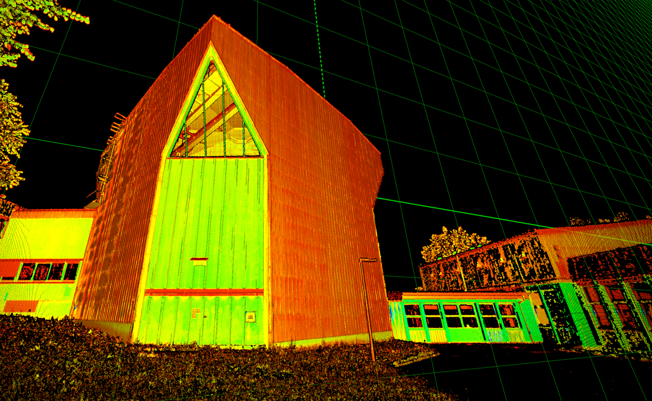
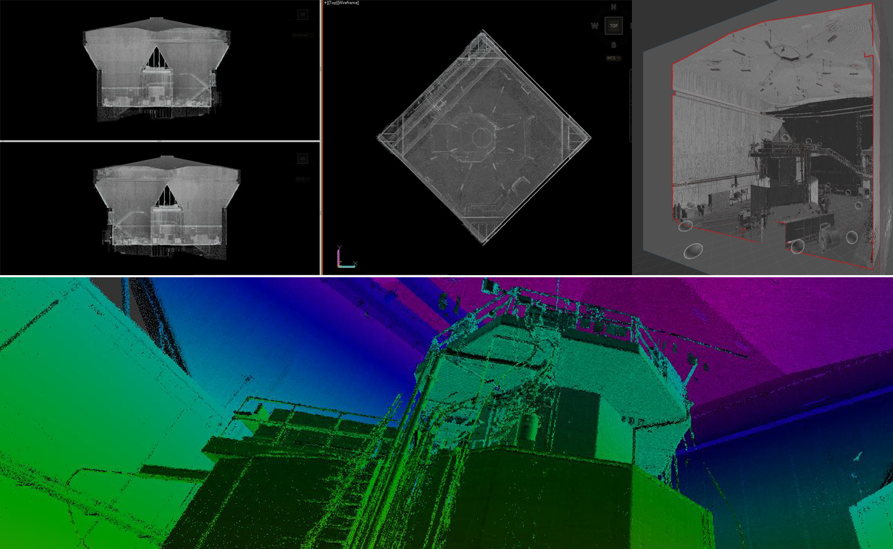
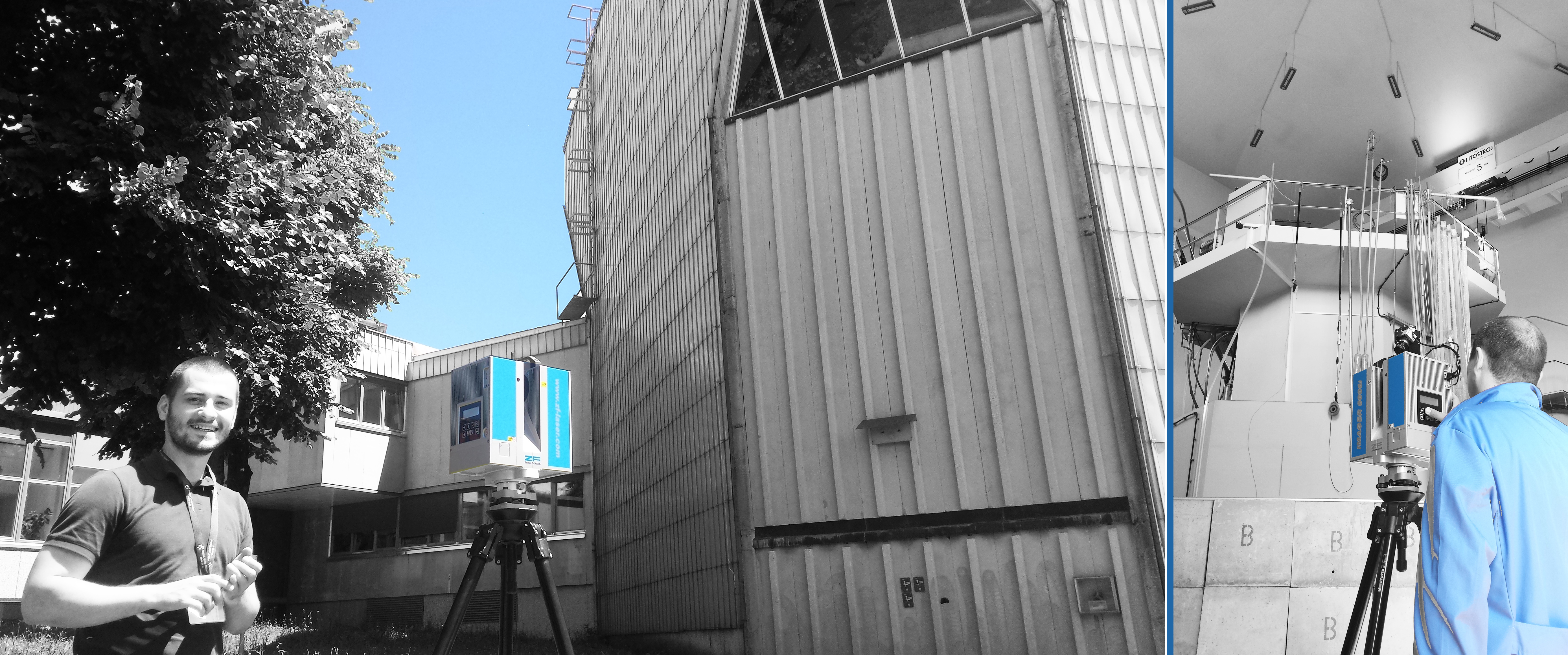
Reactor 3D scan
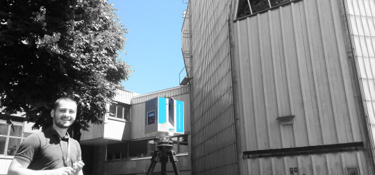
Building interior & exterior, with focus on indoor space – reactor room was 3D scanned to obtain full geometry for As Build modelling...
-
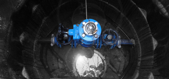
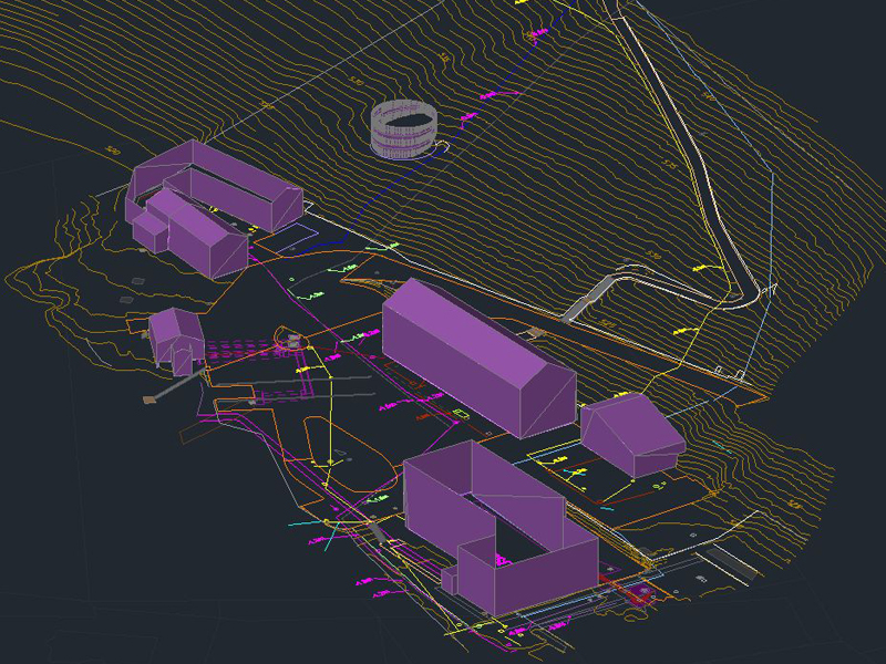
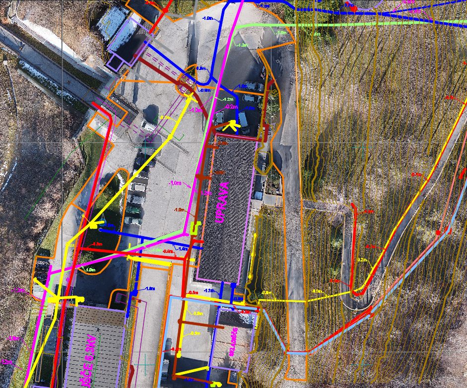
Kartiranje infrastrukture – Hidroe
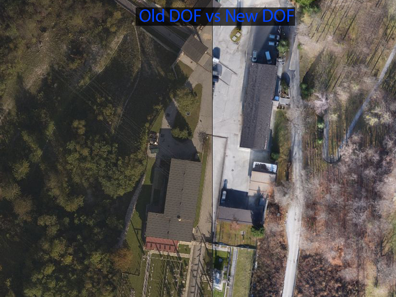
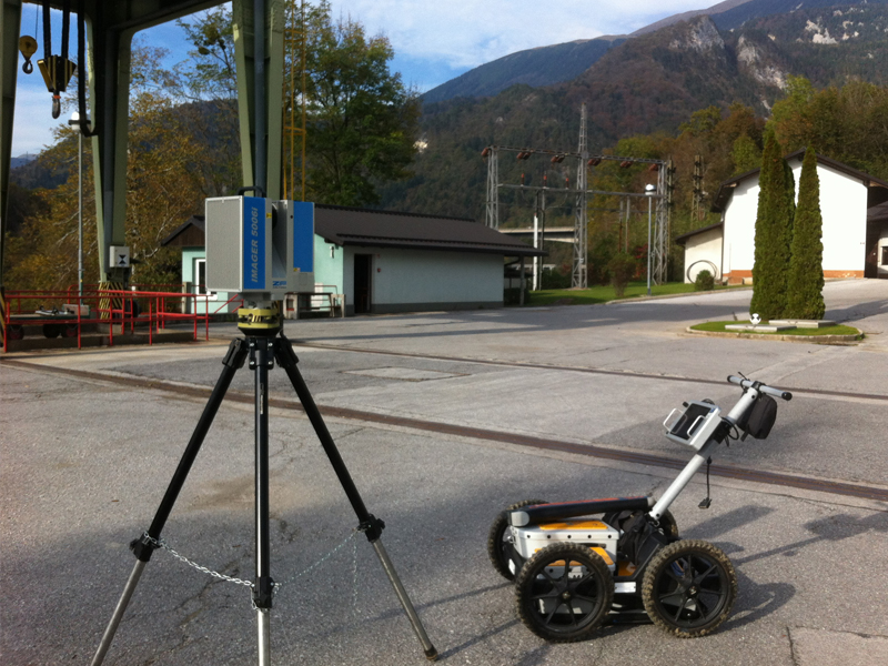
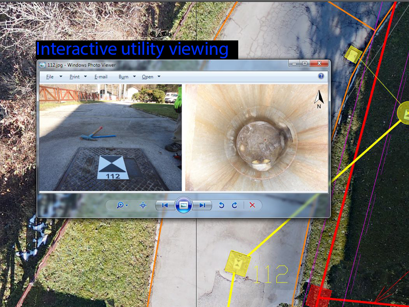
For utility and surface infrastructure different technologies were used (laser scanning, classical surveying, aerial photogammetry, ground penetrating radar and utilities locator. UAV product:...
-
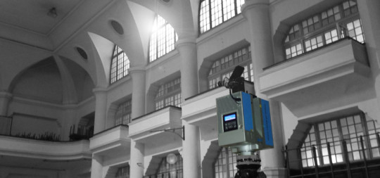
Heritage Hall – Wall Mapping
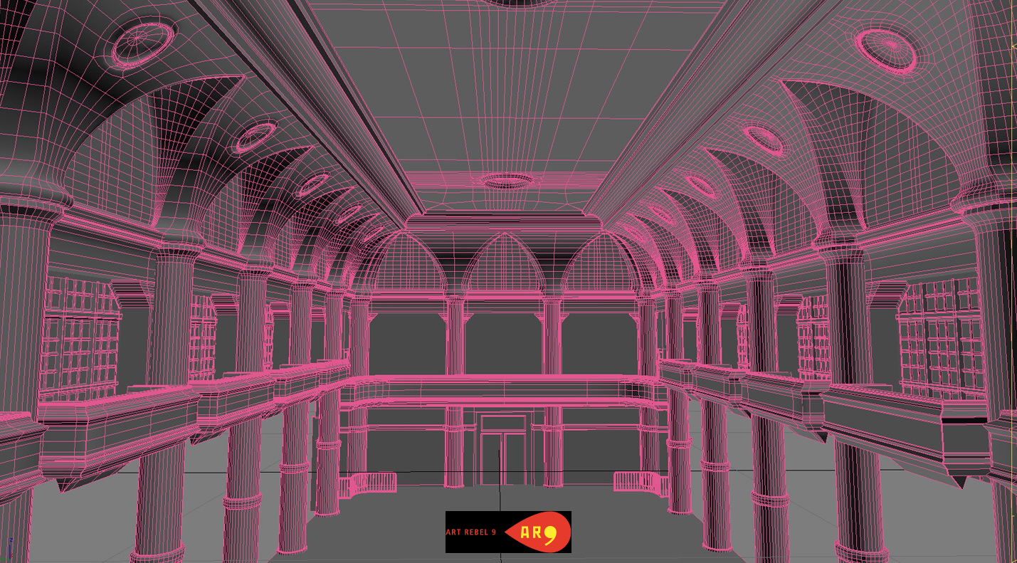
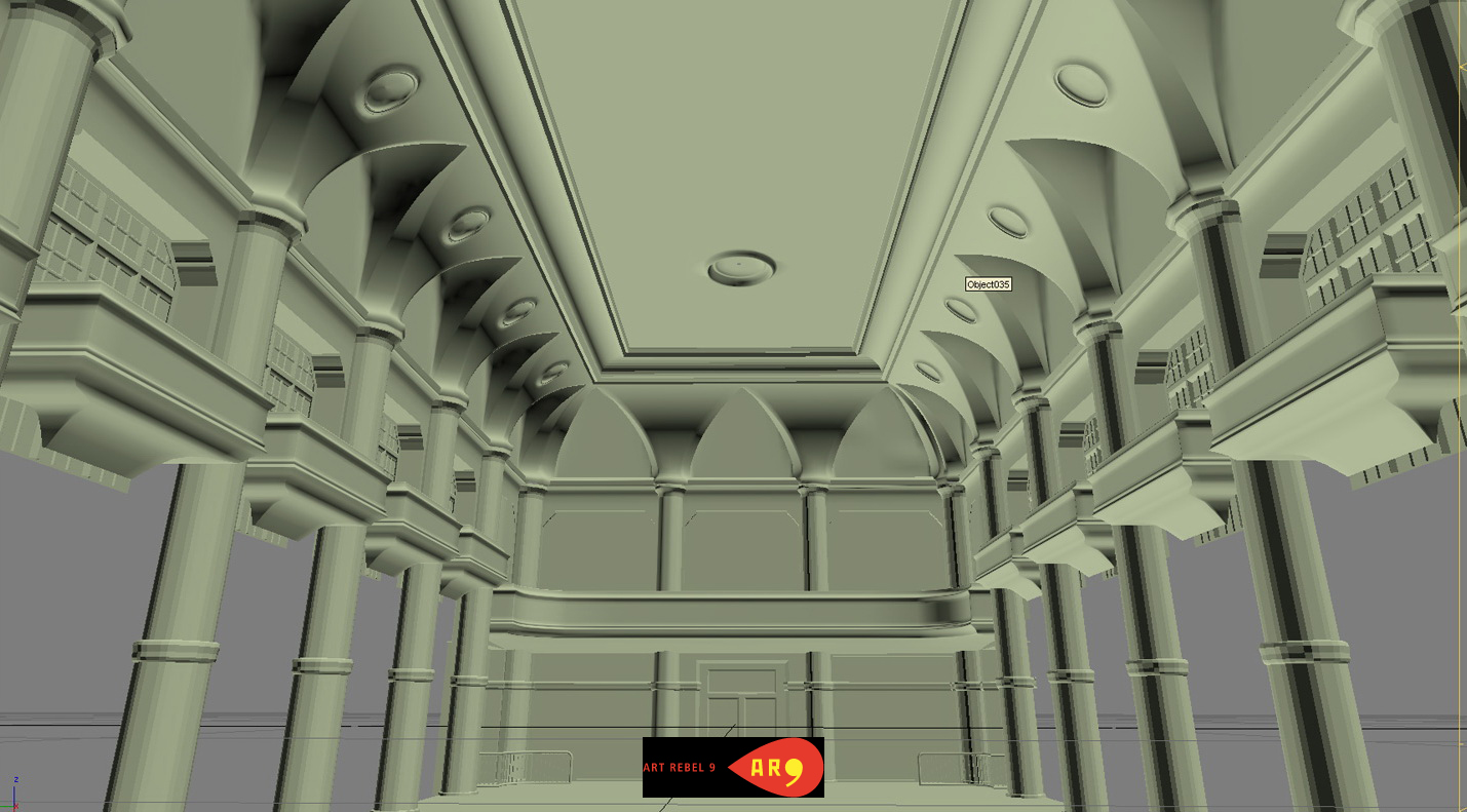
3D laser scanning was used to capture hi-detailed geometry data for Wall Projection Mapping purposes. As projected surface 3D nurbs model was created....
-
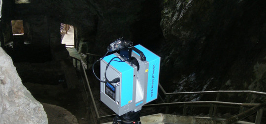
Postojnska jama & Predjamski grad
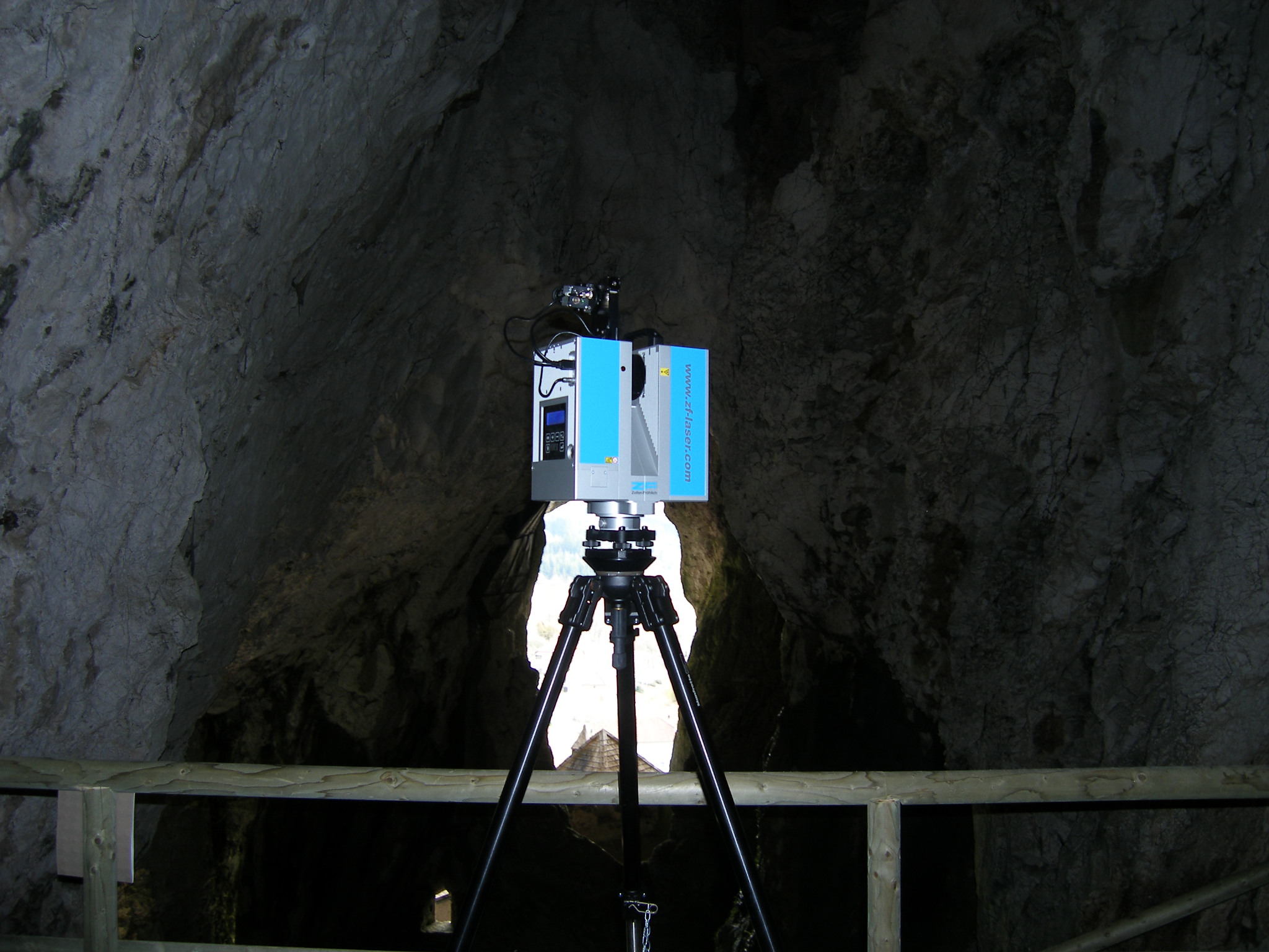
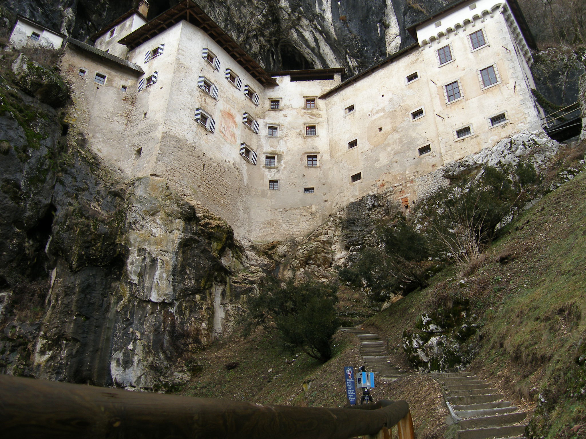
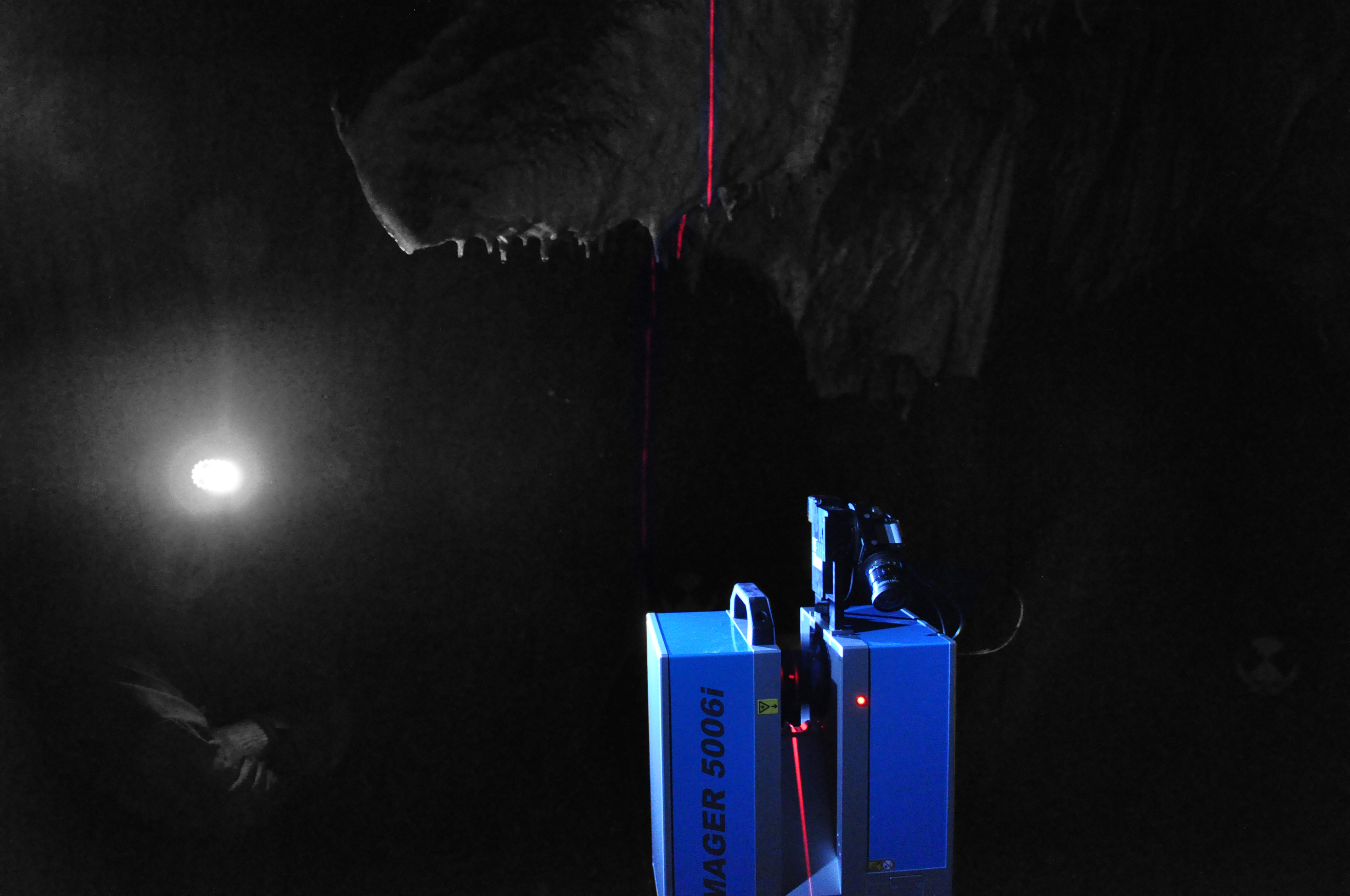
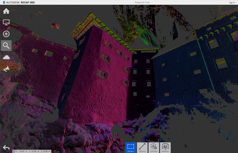
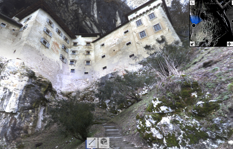
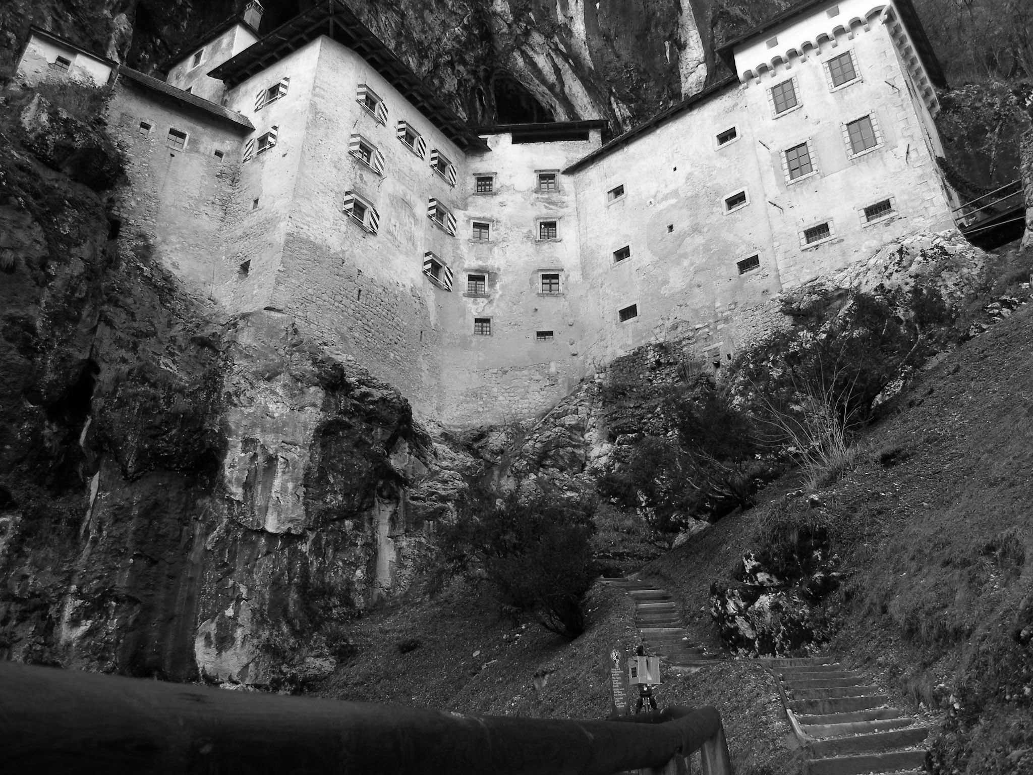
Predjamski grad in deli Postojnske jame so bili 3D skenirani s terestričnim 3D laserskim skenerjem. Izdelani so bili 3D mesh modeli po posamičnih...

